|
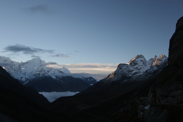
In order to avoid clouds on Gokyo Ri, we got up before 5, grabbed some chapati with jelly to go and left at 5:00 sharp. At first we had to use our headlamps but it soon got light enough to turn them off. After a little more than one hour, the path crosses the stream flowing through the Gokyo lakes and we had a beatiful view down the valley towards Machermo and Thamserku.
|
|
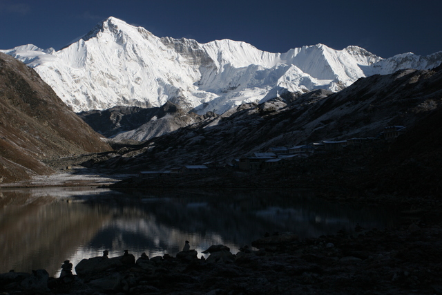
By the time we arrived at Gokyo, around 7:15, the sun was already up and Cho Oyu was beatifully lit from the side.
|
|
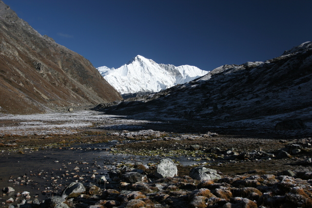
At the base of Gokyo Ri we crossed a shallow stream on some rocks and almost slipped since they were covered with ice from the night.
|
|
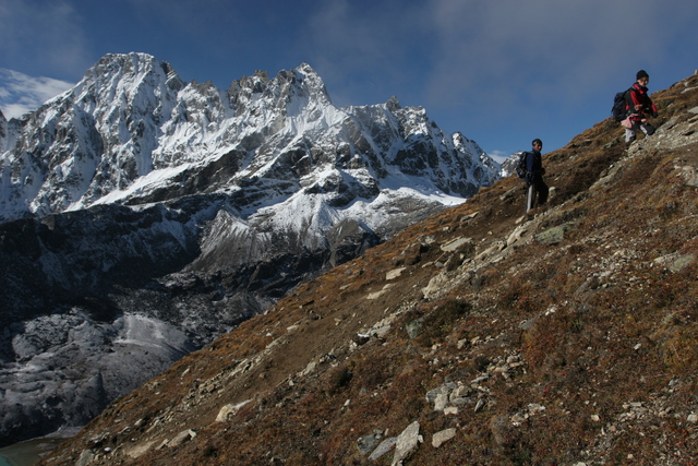
The path up Gokyo Ri is quite steep in the beginning and we had to slow down a lot. The hike up to Gokyo had already exhausted us a bit so we were not terribly fast. First clouds started to form and we worried about visibility at the top.
|
|
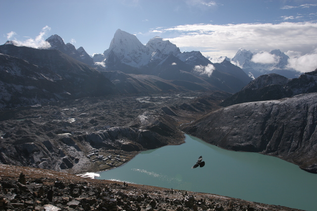
The steep ascent offers awesome views of Gokyo, the third Gokyo lake and the Ngozumpa Glacier.
|
|
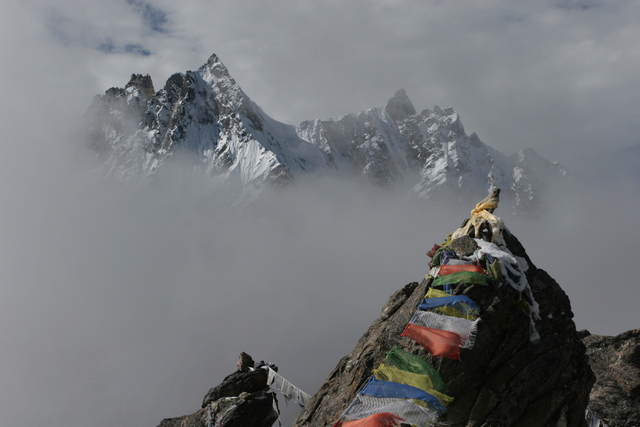
By the time we made it to the top, some clouds had appeared but there were gaps from time to time so we were still able to see all of the scenery, albeit piece by piece. This image shows Machermo Peak in the background.
|
|
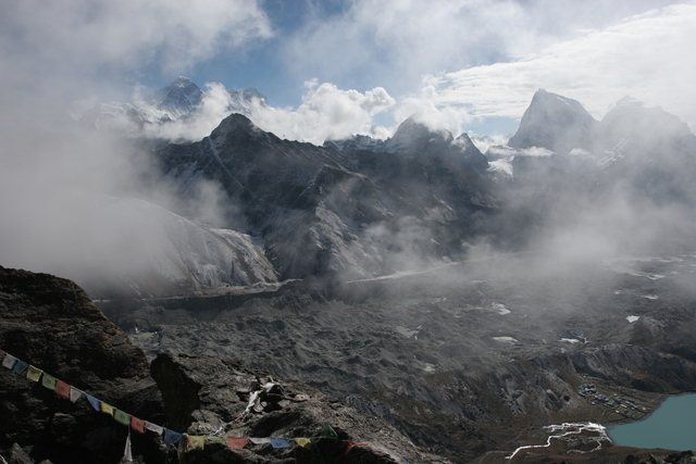
Looking east we got our first view of Mount Everest, the leftmost peak on the horizon.
|
|
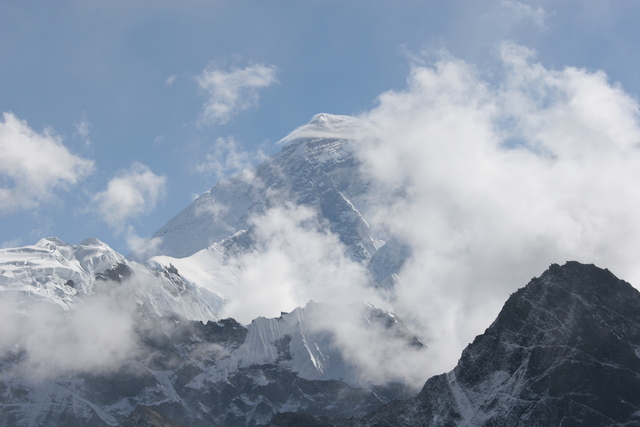
Visibility was not very good anymore, but Everest had an interesting layer of clouds on the top.
|
|
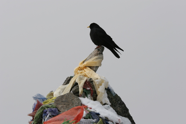
A chapati vulture.... stole a small piece of chapati I had not finished eating.
|
|
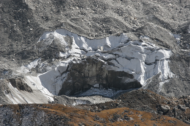
This section of caved in glacer is only put into perspective by the foot path visible on the moraine in the foreground.
|
|
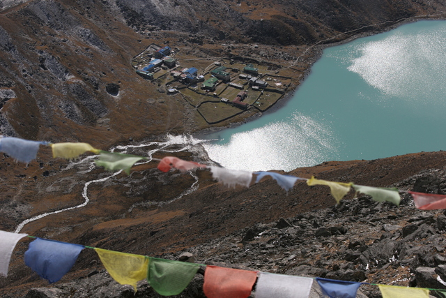
Gokyo, about 500 meters below.
|
|
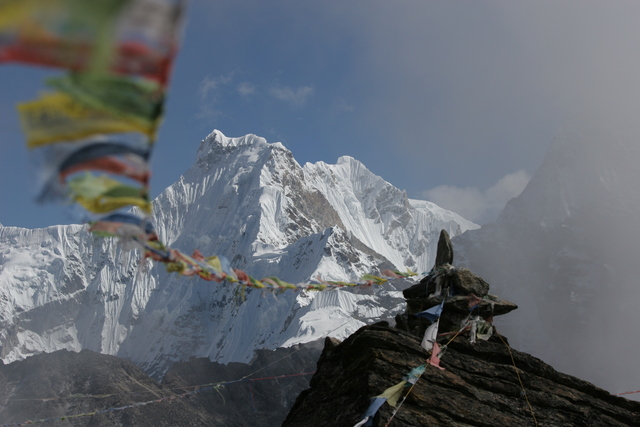
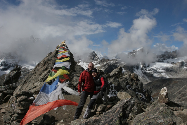
Lots of prayer flags...
|
|
Irene and me posing for a picture.
|
|
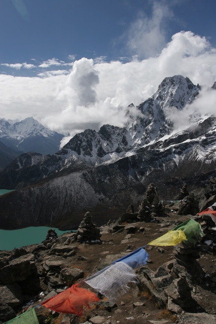
The whole mountain was full of rock piles. Machermo Peak in the background.
|
|
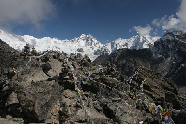
Gyachung Kang (7922 m) lies to the northeast.
|
|
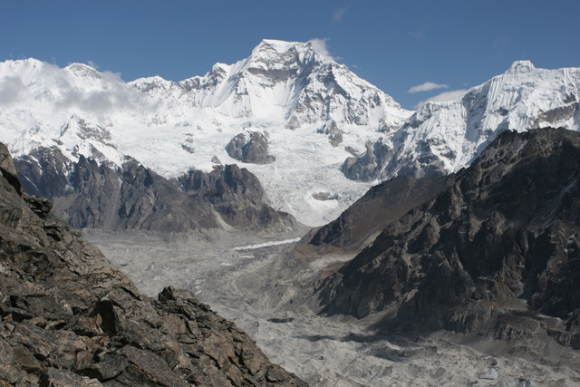
A close up view of Gyachung Kang with the massive Ngozumpa Glacier.
After almost an hour at the top, we headed back down to Gokyo and had lunch. The spanish group arrived bit by bit and joined us in the dining room. Their feast of the day was a slap of Serrano ham which had been given to one of them by his mother for the trip.
After lunch we walked up to the top of the glacier moraine to get a closer look. The movement of the glacier caused small rockslides off the moraine from time to time. We then headed back to Machermo for a nap and a lot of food for dinner.
|
|
Previous Day
|
|
Next Day
|


