After a bit of food and lots of pictures we headed back down the valley. The return trip only took 1:45 instead of the 2:40 it had taken us to get up. We had two dishes each for lunch and retired for a nap afterwards.
|
|
|
|
|
| Previous Day |
October 1st 2008 Start: Thame, 3800 m, 8:30 Arrival: Thame, 3800 m, 13:25 Duration: 4:55 Breaks: 3 breaks of 10 minutes each Estimated climb: 800 m Estimated descent: 800 m |
Next Day |
 |
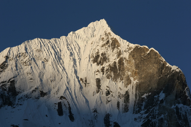
The mountains around Thame are quite spectacular so I got up before sunrise to get some nice shots in. The weather was very clear and soon the sun reached the mountain tops. The picture on the left shows Teng Kangpoche (6500 m). | |
 |
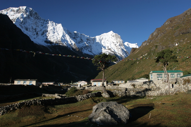
The plot of land around our lodge was used by the owners to dry Yak dung for heating. In the background Teng Kangpoche is visble. | |
 |
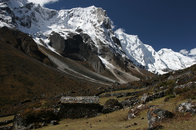
We had decided to stay in Thame for two nights to acclimatize better before heading up to Lunghde(4350 m) and then crossing Renjo La(5400 m) to get to Gokyo(4750 m). The rule of thumb for ascending seems to be to sleep at most 300 to 400 meters higher every day. After breakfast we got ready for our day hike. The plan was to head west, up the valley towards Trashi Labtsa and take a closer look at it without actually heading on the glacier. The south side of the valley is formed by a very steep mountain range with several peaks above 6500 meters. We left at 8:30 and went up to the Gompa again. The path continues further west and we soon gained enough altitude to get our first view of (somewhat clouded) Amai Dablam. After 70 minutes of walking we reached the yersa (mountain summer pasture) of Ribug shown on the left. | |
 |
Between Ribug and the last village of the valley, Thengpo at 4300 meters, the path converged on the river and we spent a bit of time taking pictures. At Thengpo we took a 10 minute break and our guide introduced us to yummy Nepali coconut biscuits (yellow wrapper). They are quite tasty and cheap, a good source of carbohydrates for longer sections without lodges. Thengpo itself is stretched out quite a bit but there are not many houses. | |
 |
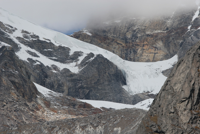
After our snack in Thengpo we continued for another 50 minutes until the path turned right towards Trashi Labtsa. Clouds were starting to move in, but we still got a glimpse of the glacier covering the pass. We reached an altitude of about 4500 meters leaving another 1255 meters to the top. The glacier has crevasses, and there is risk of rock fall and ice avalanches, so we stopped before the path got too close to the steep right flank of the valley. | |
 |
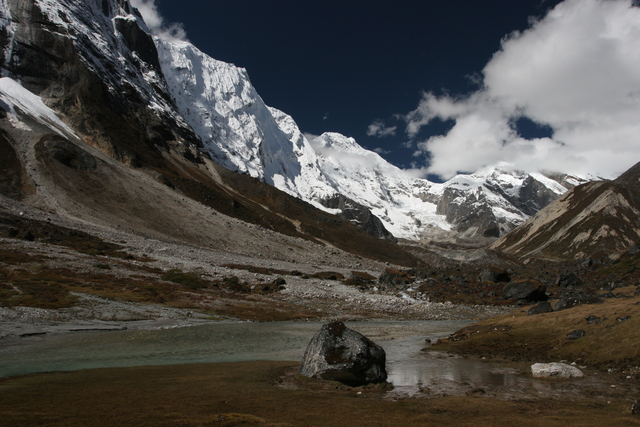
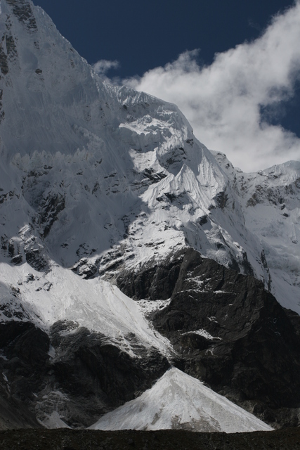
A pyramid of snow and ice fed by avalanches. After a bit of food and lots of pictures we headed back down the valley. The return trip only took 1:45 instead of the 2:40 it had taken us to get up. We had two dishes each for lunch and retired for a nap afterwards. |
|
 |
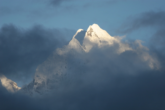
Like on the previous day, we had some nice views of Thamserku and Kusum Kanguru just before sunset. | |
| Previous Day | Next Day |